


Breaking News


$500 GPS-free drone from US startup Theseus catches Ukraine's interest.
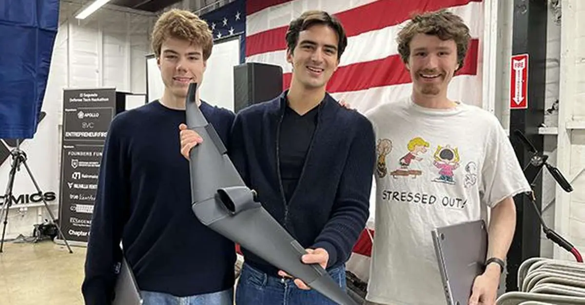
As reported by Defense One on August 22, 2024, a team of three engineers developed a prototype for a GPS-independent drone during a 24-hour hackathon in El Segundo, California, from February 17 to 18. They used a 3D printer and materials costing less than $500. The technology has already attracted interest from several organizations, including Ukrainian government-connected accelerators, special forces units, and ground troops. According to the team, some Ukrainian agencies have made direct inquiries, indicating international interest.
Follow Army Recognition on Google News at this link
During the Hackathon, the Theseus team completed the drone within 24 hours at a cost of less than $500, using 3D printing and readily available electronics. (Picture source: Theseus)
In February 2024, Ian Laffey, a 24-year-old AI developer, decided to participate in the El Segundo Defense Tech Hackathon in San Francisco. There, he met a group of Ukrainians who had recently returned from the front lines and were actively seeking new technologies to aid their efforts. Due to a shortage of artillery, Ukraine had increasingly relied on inexpensive drones, which, while effective, were dependent on GPS guidance systems susceptible to jamming. This issue prompted Laffey and his two partners, Sacha Levy and Carl Schoeller, to create a GPS-independent drone capable of recognizing its location without relying on an extensive database of satellite images.
Instead, their drone uses a deep learning model called a large vision transformer to understand the relationships between GPS coordinates and local terrain features. This model aims to provide an inherent understanding of the world's surface without depending on original satellite images. The team completed the drone, featuring a flying-wing design, within 24 hours at a cost of less than $500. For example, the airframe and control surfaces were 3D-printed in five hours and assembled in two hours using readily available electronics.
They developed a navigation system that uses an algorithm to match satellite images from Google Maps with real-time images captured by the drone's onboard camera. This allows the drone to estimate its GPS coordinates without relying on a traditional signal. Their system is comparable to the Terrain Contour Matching (TERCOM) guidance system used by Tomahawk cruise missiles, which compares real-time measurements from an onboard radar altimeter with a stored contour map of the terrain to determine a precise location. The TERCOM system offers greater accuracy than inertial navigation systems (INS) and allows missiles to fly at lower altitudes and closer to obstacles, reducing the likelihood of detection by ground radar.
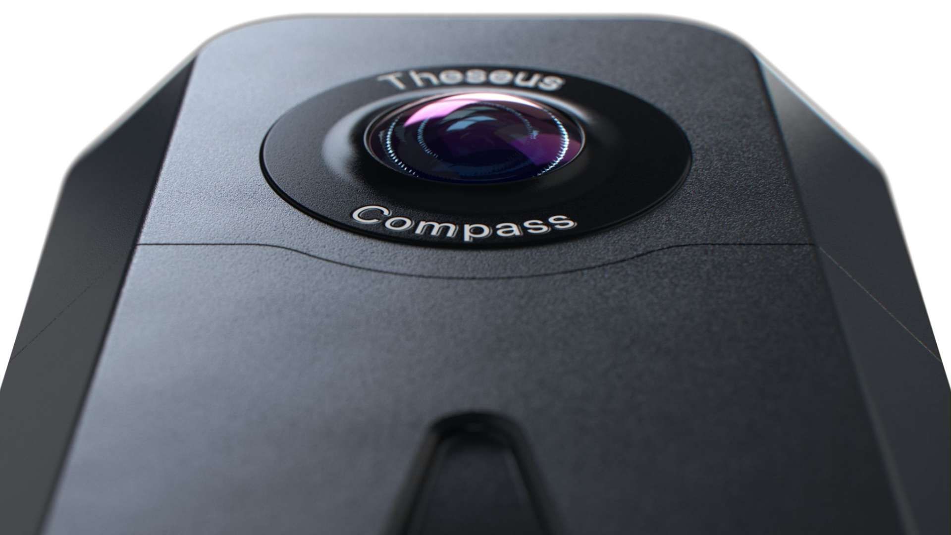
Theseus developed a navigation system that uses an algorithm to match satellite images from Google Maps with real-time images captured by the drone's onboard camera. (Picture source: Theseus)
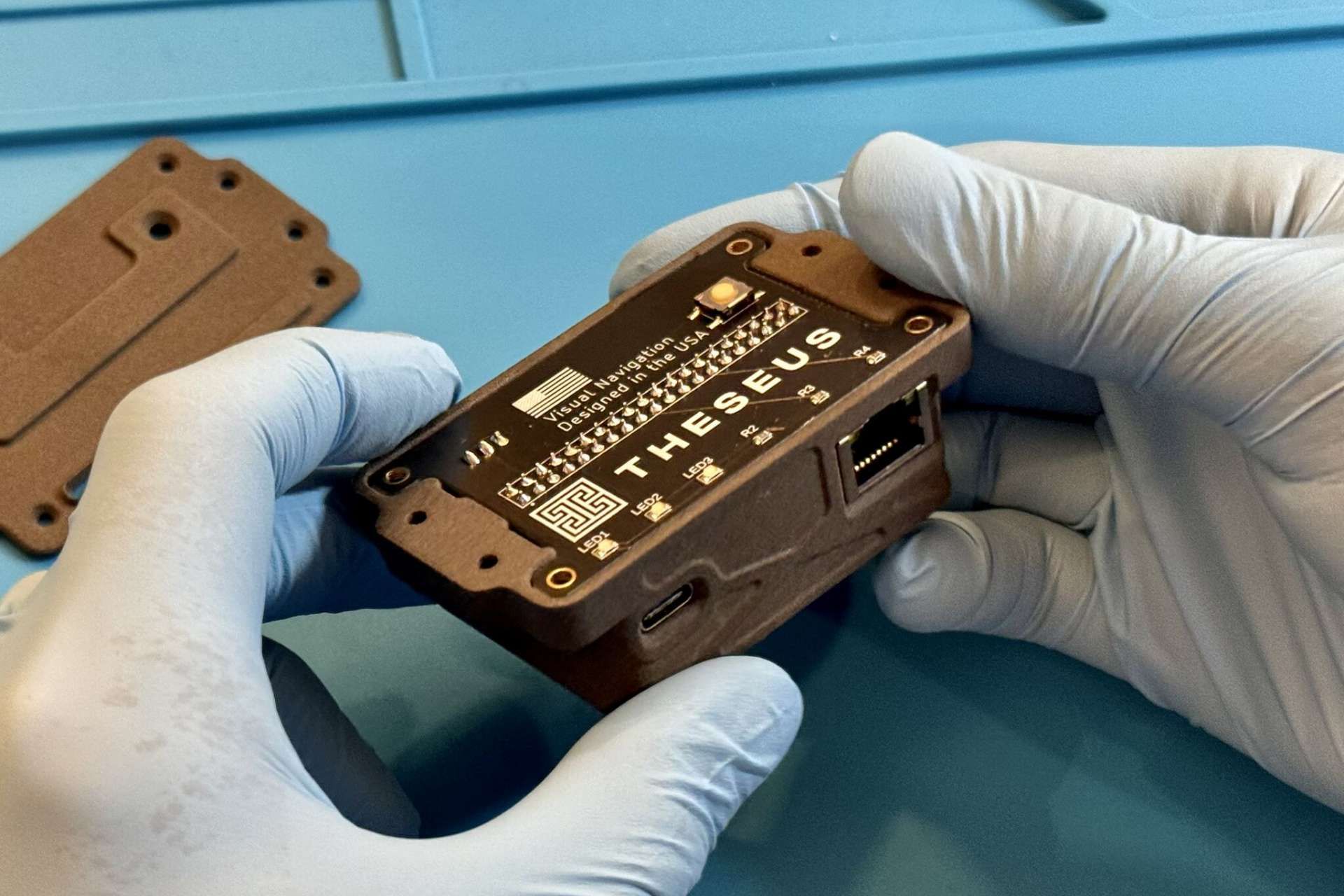
The team utilized a scale-invariant feature transform (SIFT) model for GPS-denied navigation, enabling their prototype to align its camera imagery with satellite images from Google Maps at a resolution of 0.5 meters per pixel. This model was chosen for its quick implementation, though it is not the most advanced tool available for such applications. The team aims for a level of accuracy similar to that of a DJI quadcopter, approximately within five meters 95% of the time, according to Levy, a doctoral student in computer science at Yale University.
After posting about their creation on social media, the team founded Theseus to further explore testing and commercialization of their drone. While the prototype has performed well in simulation tests, it remains in an early stage of development. Interest has already been expressed by various organizations, including Ukrainian government-connected accelerators, special forces units, and ground troops. Laffey, one of the team members, noted that "some Ukrainian three-letter agencies have directly emailed us," illustrating the global interest in their work.
The Theseus team members, aged between 22 and 24, have diverse backgrounds, including developing AI-powered email services, internships at Apple and Tesla, and work on generative modeling for single-cell biology. They prefer startup defense companies like Anduril over traditional defense contractors, stating that these larger firms have struggled to attract top talent in recent years.
While the prototype remains in an early stage of development, interest has already been expressed by various organizations, including Ukrainian government-connected accelerators, special forces units, and ground troops. (Picture source: Theseus)
The team has also raised concerns about conventional military strategies and the focus of large defense contractors on expensive, centralized hardware. Schoeller, for example, has questioned the feasibility of deploying high-cost weapons like the $2 million Tomahawk missile in conflicts with economically comparable adversaries. The team suggests an alternative approach involving deploying tens of thousands of low-cost, networked drones, which they argue could be harder to target and offer a wider range of potential applications. They propose that such a network of drones could create new opportunities in defense strategy.
From a military perspective, the GPS-independent drones developed by the Theseus team offer a cost-effective alternative to traditional drones, functioning without relying on GPS guidance systems, which are susceptible to jamming. By leveraging deep learning models and algorithms to autonomously navigate and identify terrain features, such drones could work perfectly even in environments where GPS signals are denied. Their design, which can be produced using 3D printing and commercially available electronics for under $500, enables the potential for large-scale deployment at a relatively low cost, and fast. Moreover, similar to the concept behind the Ukrainian Trembita cruise missile, a network of these drones could be more difficult to detect and intercept when attacking high-value enemy military assets.